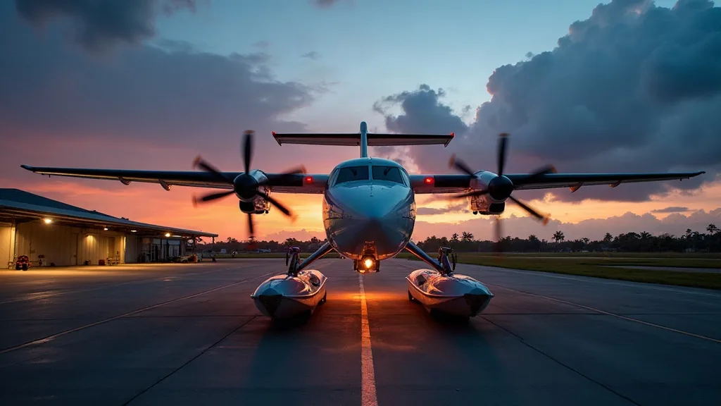
A bali volcano seaplane tour is an on-request private scenic flight that climbs from Bali’s south-east coast past Amed toward Mount Agung (3,031 m) and the Batur caldera, flown at a respectful distance under volcanic-activity and airspace rules. As of September 2026, no operator publishes a scheduled volcano seaplane product, so it is quoted per aircraft through licensed partners.
Bali’s only confirmed scheduled seaplane product does not fly the volcanoes: Santai Seaplane’s published “Fly Scenic Bali” is a 40-minute South Bali coastal loop in a Cessna Caravan 208 EX Amphibian, up to 8 guests, from Ngurah Rai Airport, with pricing quoted per aircraft for the full capacity, as the operator does not sell individual seats (captured 2026). Juara Holding Group is an independent coordination desk, established 2015, arranging flights through licensed partners — not an operator, and not affiliated with Santai Seaplane or any name on this page.
What Do You Actually See on a Volcano Seaplane Flight?
Exact routing depends on the aircraft, weather, and current volcanic-activity status, but a south-east climb toward Agung and Batur typically passes these landmarks.
| Landmark | What you see from the air | Where it sits on the route |
|---|---|---|
| Amed coastline | Black-sand shoreline, fishing jukung boats, reef shadows | Departure climb-out |
| Mount Agung cone | Bali’s highest peak (3,031 m), cloud cap permitting | Mid-route, at legal distance |
| Batur caldera rim | Outer wall of the ancient eruption caldera | Approach to Kintamani |
| Lake Batur | Crescent-shaped crater lake inside the caldera | Below the caldera rim |
| Kintamani ridge | Terraced villages and coffee plantations | Circling turn |
| Sidemen valley | Rice terraces framed against Agung’s southern slope | Return leg |
| Candidasa coast | Reef-lined bays east of Amed | Final descent |
No operator page published as of September 2026 promises a summit overflight, a guaranteed altitude, or a fixed crater-rim distance. Treat the table above as indicative routing, not a contracted flight plan.
Is It Legal to Fly a Seaplane Near Bali’s Volcanoes?
Yes, under Indonesia’s civil aviation rules, but with limits that shape what you see. Seaplane operations follow the DGCA’s Manual of Standards for waterbases, and every flight near an active volcano also answers to the alert level PVMBG (Indonesia’s volcanology agency) sets for that mountain. Agung and Batur sit on a four-tier alert scale; when PVMBG raises the level, airspace near the crater tightens or closes, and a planned charter is rerouted or cancelled for safety.
Pilots fly daylight VFR (visual flight rules) only, keeping a buffer from the cone that the operator sets per flight. If booking around a fixed date, ask your coordinator to check current PVMBG status first, since alert levels shift week to week.
Morning or Afternoon: When Does the Volcano View Clear Up?
Morning wins, and the margin grows in Bali’s wet months. In the dry season (roughly May–October) the air stays clear for volcano visibility most of the day. From November to March, afternoon cloud typically builds over Agung and Batur by early afternoon — general Bali weather behavior, not an operator claim. Booking the earliest morning slot, with sunrise around 06:00–06:30 year-round, gives the best odds of a clear cone and caldera view.
Plan around one fixed date: Ngurah Rai Airport closes for Nyepi, Bali’s Day of Silence, one full day each March, grounding every seaplane departure.
Quick Facts and Who This Tour Suits
| Detail | What to know |
|---|---|
| Product status | On-request charter, not a scheduled route (as of Sept 2026) |
| Aircraft | Amphibious seaplane, quoted per charter by the assigned operator |
| Flying rules | Daylight VFR only; altitude and distance limited by civil aviation rules |
| Volcano access | Subject to current PVMBG alert level for Agung and Batur |
| Best season | May–October (dry); mornings preferred year-round |
| Departure point | Ngurah Rai Airport (Denpasar) |
| Booking lead time | 5–10 days recommended for permit and aircraft confirmation |
| Best suited for | Repeat Bali visitors and landscape photographers wanting a view no ground tour offers |
| Not suited for | Travelers who need a guaranteed summit overflight or a fixed departure time |
What Does a Bali Volcano Seaplane Tour Cost?
No volcano-specific fare is published, so the table below uses Bali’s confirmed scenic seaplane product as the only public reference point.
| Option | Duration | Capacity | Reference price | Status |
|---|---|---|---|---|
| Published South Bali coastal loop (not volcano) | 40 minutes | Up to 8 guests | Quoted per aircraft for the full capacity; per Santai Seaplane’s published figures, costs are quoted per aircraft and vary by route, as individual seats are not sold. | Confirmed operator product, captured 2026 |
| Agung/Batur volcano-facing charter | Set by the assigned operator, generally longer than the coastal loop | Aircraft-dependent | Quoted per aircraft after route and date review | On request, via licensed partners |
| Combined volcano + coastal loop | Custom, negotiated per booking | Aircraft-dependent | Quoted per aircraft | On request only |
Every figure above is dated to September 2026 and subject to change; the coastal loop is the nearest confirmed benchmark for a Bali seaplane charter, not the price of a volcano route.
How Booking a Volcano Seaplane Tour Works
- Send your dates and party size to the Juara Holding Group desk by WhatsApp or email, noting the Agung/Batur routing specifically.
- We check current PVMBG alert status for both volcanoes and confirm which licensed operators can fly that window.
- The assigned operator quotes the charter per aircraft — route, duration, seat count — the number you approve before paying anything.
- You receive written confirmation with departure time, meeting point, and weather-contingency terms.
- You fly your confirmed morning slot, understanding that ash advisories or an alert-level change can still force a reroute or reschedule on the day.
Request Your Volcano Seaplane Quote
Juara Holding Group is an independent coordination desk, not an aircraft operator — we arrange your Agung and Batur charter with licensed partners and quote it per aircraft once dates and PVMBG status are checked. Message the desk on WhatsApp at 6281139414563 or email bd@juaraholding.com with your dates, group size, and whether you want the volcano route alone or combined with the coastal loop.
Frequently Asked Questions
Can a seaplane fly directly over Mount Agung’s crater?
No operator publishes a summit overflight, and none should be promised. Civil aviation rules and PVMBG volcanic-alert restrictions require pilots to keep altitude and distance from the crater, so the route circles the cone at a respectful range rather than passing over the rim. The assigned operator sets the exact distance on the day, based on alert level and weather.
How close does the flight actually get to Mount Batur?
There is no fixed, published distance. Pilots typically route along the outer caldera rim and above Lake Batur when conditions and PVMBG status allow, but the operator confirms the specific flight path only after reviewing that day’s weather and volcanic-activity level. Treat any distance figure elsewhere as indicative, not contracted.
Does the seaplane land on Lake Batur?
No operator publishes a water landing on any Bali volcano-facing route as of September 2026; Bali’s one confirmed scenic seaplane product departs and returns to Ngurah Rai Airport on wheels, not water. A Lake Batur landing has not been documented by any licensed operator we coordinate with, so do not expect one unless your written confirmation states it explicitly.
What happens if Mount Agung’s alert level rises before my flight?
Your operator reroutes away from the affected zone or reschedules entirely; this is a safety decision by PVMBG and the airline, not a service failure. Juara Holding Group checks alert status again close to your date and relays any change immediately, so build flexibility into your Bali itinerary if the volcano view is your main reason for booking.
How much does a private Bali volcano seaplane tour cost?
No volcano-specific fare is published as of September 2026. The nearest public benchmark is Santai Seaplane’s confirmed 40-minute South Bali coastal loop, for which pricing is quoted per aircraft for the full capacity; as the operator does not sell individual seats, a per-guest figure is derived from the full aircraft price, which varies by route and season, per Santai Seaplane’s published figures. A volcano-facing charter is quoted separately, per aircraft, once your dates and the assigned operator’s terms are confirmed.